Wednesday, November 25, 2009
November 11 - Kayaking in Coles Bay; and Mt. Amos above Wineglass Bay.
Once we settled into our beachside campsite, we realized that the constant moving and driving was starting to wear us a bit thin, so we agreed to stay in Freycinet Park for a few days and just enjoy one great place.
The tour guide we had met at the Cascade Brewery in Hobart was a kayaking nut, and he told us that kayaking in Coles Bay was great. So, here we were, in the right place with nice weather. After returning from the Wineglass hike, we found the local kayak guiding and rental outfit, convinced them we could handle a double, and set up a trip for the next morning.


The tour guide we had met at the Cascade Brewery in Hobart was a kayaking nut, and he told us that kayaking in Coles Bay was great. So, here we were, in the right place with nice weather. After returning from the Wineglass hike, we found the local kayak guiding and rental outfit, convinced them we could handle a double, and set up a trip for the next morning.

We were geared up with spray skirts and PFD's, which felt like too much for the conditions, but we did keep the spray skirts on. We packed lunch, water, camera, SPOT, got going about 10 AM.

The rental folks had boundaries on how far you could take their kayak, so we set out to push the limits. Around this point on the northwest corner of Coles Bay, we could see the Nine Mile Beach stretching over to the mainland. It was nice paddling along the granite rocks, but I could not help but think: "These people should see Thumb Cove".

We pulled up on Picnic Island for a break and lunch. We watched the birds and I did a SPOT check-in:


Took each other's picture...

It is a sweet spot, and we stayed there a little too long. The wind came up and when we pulled off we had to head straight into it, which luckily was directly to the nearest shore. We continued south along the shore, curving around the town, and of course we went behind every rock and through every narrow spot.

This shot was taken from up on the mountain later that day, but it shows the shoreline rocks we played along.

Sometimes the pressure is just too much...
Can you spot the whale face in the pink granite boulders?

We didn't quite reach the southern boundary of our play zone (it was a shoreside quarry where they cut the pink granite for the country's parliment building, among other projects), but by the time we got the boat back to the landing we were ready to stand up and move. I had white tape on both thumbs, but only blistered on one. Kayaking and rowing create different hot spots!
In the center of this shot is Mt. Amos, one of the Hazard Peaks which overlooks Wineglass Bay. I threw a fanny pack together and had Sue take me to the trailhead for an afternoon speed scramble up that trail.

This sounds about right.
Except it was about an hour up, and 45 minutes down, so they allowed too much time for taking photos.
It was a great mountain hike, and I had it to myself.

Much of the route goes over slopes of granite slabs, with small white painted arrows keeping you on track.

This character had a weak chin, but a superior brain box.

I couldn't resist jumping into a self-timer shot.


The view from the top reveals Wineglass Bay in its true glory.

A closer look at the beach near the geocache.

This shows the low neck of land with beaches on the east and west side.

The pause that refreshes...
I did another SPOT check-in from here; look at the map link if you'd like.
If you do, click "terrain" and zoom in:

Looking back down on the town of Coles Bay.

The lovely Mt. Dove, just east of Amos. That granite is truly gorgeous.
All in all, is was another great day in the Park.
Monday, November 23, 2009
Hiking to Wineglass Bay.
Note to the detail nuts:
This hike was on November 10, but I'm just getting it posted now - Harold
Our camp site was near Richardsons Beach, at the Freycinet (fray-zi-na) National Park. It was a sweet site, with electricity, water, and beach access, but there were only cold water showers...
We got an early start for the hike over the Hazards (a set of rosy granite hills) to Wineglass Bay. It's about five miles round trip to get down to the beach, and it turned out the Wineglass beach is a mile long.

The trail is well-constructed, with many great stone steps and fantastic views.


The hills can be exhausting.
OK, this is a picture to show the great bench.....

Shade is where you find it.

This lounger was built as a project by several students in an architecture course. It was comfortable!

Our first view of Wineglass Bay, from an overlook platform. It was a rather gray day, so paradise was a bit understated. The sky gradually brightened up during the day.

Once on the beach, we knew we had to walk to the other end.
The fact that the only facilities were down there had little to do with it......
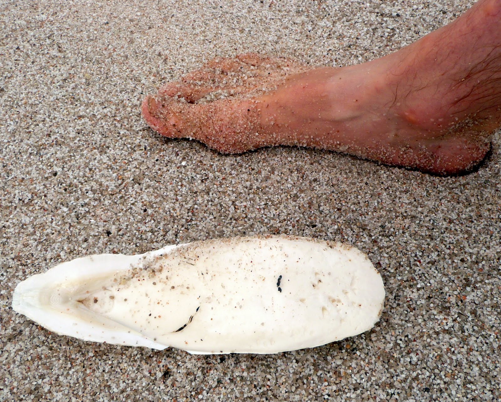
The bony "shell" of a large cuttlefish (like a squid).
I remember when we used to put these in the birdcage, for the parakeets to sharpen their beaks on.

The anchor nook at the far end of the beach. This was also the best swimming spot.

This wallaby joey and his mama were feeding just above the beach. We never got tired of watching them.

Gosh, what a shame we didn't have more company...

Sue's artistic talents are barely suppressed, and just pop up unexpectantly.

At a nice geocache on the end of the beach, we released this new Travel Bug, "Heading Back to the Kenai". It is a rowing medal from the Head of the Kenai regatta in Cooper Landing. We gave it a "mission" to visit caches near water activity areas, and to someday return to Alaska.
On the return trip, we decided to take the same trail over the pass. There is a longer trail available, around the west end of the Hazards, but that Sue, she just can't get enough hill climbing.

It was a great day in the Park !
Wednesday, November 18, 2009
Alaska At Last!
It was a very long ordeal, but we finally arrived in Anchorage at 12:30 a.m. this morning. Jeanie and Jonas were at the airport to greet us and take us to Marcia's. Other than a 4 hour delay at the start in Sydney which caused us to miss our connection in L.A., all went smoothly. The first thing we noticed was that it's cold here. We will head to Seward this afternoon and Harold can put the final pictures on tonight, so stay tuned.
Sunday, November 15, 2009
Across Tassie to the east side
After leaving Cradle Park, we drove down through the mountains and stopped for just a bit on a beach on the west coast, at Strahan. The locals told us the weather was as good as it gets, and that we had to see the beach there.
 Could not resist including this; I know wee Georgie will get a kick out of it!
 We waded and walked and threw the Friz at the beach.
 The color here is great, on the mountain above Queenstown, but it turns out the hills have been bared due to heavy metal contamination killing the veg, during the scramble for gold and iron. It is being reclaimed; Tassie has become eco-aware, after decades of exploitation.
 Some great Tasmanian mountain country.
 And who would this be?
 A bottle of local champagne on the shore of Lake St. Claire was a fine way to end Harold's birthday! This is the south end of the wilderness trek that begins at Cradle Mt.
 Two visitors during supper. This mama seems to be teaching Joey some bads habits, and must be getting fed by campers.
 Sunset on Lake St. Clair, a glacial terminal lake.
 On the way to Hobart the next morning, Sue spotted rowers on the Derwent River. It didn't take too much talking to get Harold a ride on a beautiful single. The river is very fine, with glorious trees and high sandstone clifffs right on the shore. The only downside of this Saturday row on a narrow river was the waterskiers, with little regard for a guy who hasn't been on the water in a month or so...
 My new buds, Scott and Peter. Peter offered me the use of his single, and invited us back any morning at 5:30 AM; tough schedule for campers on the move.
 At the summit of Mt. Wellington, above Hobart (it's a drive-up).
We found two geocaches there!
 We camped that night over near Port Arthur, and took the late-night "Ghost Tour" of the old penitentiary. It was fun, if a little hokey. Can you spot the spirit image behind our guide?
 Returning to our camp after the tour, we saw several of these little monsters running down the road. OK, they are sweet little mammals, endangered and worthy of care and respect. Hungry though; they supposedly can eat 60 per cent of their body weight in 20 minutes.
 The next morning, we took the brewery tour at Cascade Brewing, the oldest brewery in Tassie.
They make great stuff.

A long afternoon of driving got us over to the Freycinet peninsula, in time for a great sunset. We camped at the beach, and got ready to hike to Wineglass Bay the next morning.
It looks like this is all we can post before we fly tomorrow.
Remaining stories include the fantastic Wineglass, kayaking in Coles Bay, a climb of Mt. Amos, a cave tour, the return to Port Sorell and seeing the Wrights again, the night ferry crossing of Bass Strait, a hike to the highest point in Australia at Mt. Kozciuszko, and blasting back to Sydney.
We will post those stories after we get the driveway shovelled out....
Bye for now. It has been the best trip ever!
Subscribe to:
Comments (Atom)
